Table of Contents
Band Frequency Range
The S Band normally lies within the range from 2 to 4 GHz. During global space missions, more than 80% of satellites use the S Band frequency range for transmitting and receiving data as well as control purposes. If the frequency exceeds 10 GHz, then the signal attenuation in rain and snow increases by around 35%. The frequency in the S Band is low and the possibilities of disturbance due to weather-related problems are only between 3% and 5%. You can learn more about factors contributing to the loss inside a WR187 waveguide here.
Whereas, manufacturing cost for S Band equipment is approximately 30% to 50% less as compared to the cost required for Ka Band equipment. Based on information provided by NASA and the European Space Agency, it is estimated that the standard development cost of an S Band transmitter is around $2 million and $5 million, while its equivalent power device made of Ka Band may cost up to $8 million and $10 million. The life span of the S Band equipment ranges from 10 to 15 years.
Assuming the mean distance between Mars and Earth of 225 million kilometers, an S Band signal is delayed about 13 to 24 minutes. A single S Band signal at a transmission power of 20 watts is able to travel over 500,000 kilometers; on average, an output power of only 150 to 200 watts was achieved.
Approximately 60% of all meteorological radar systems use the S Band in the detection of weather change around the globe. An estimate of over 7,000 satellites are put up in orbit up to the year 2024 with at least 65% communication utilising the S Band.
The Ka Band can achieve data transfer rates over 500 Mbps, while the S Band typically reaches 10 to 50 Mbps. The Ka Band is highly sensitive to rain attenuation. A typical thunderstorm can cause a 30% to 70% signal loss in it. The signal loss of the S Band is usually less than 5%.
A typical S Band antenna is 2 to 3 meters in diameter and weighs within the range of 150 to 300 kgs. More than 45% of all CubeSat communications systems in the world also use the S Band. Their development cost is usually within the range of $500,000 to $3 million each.
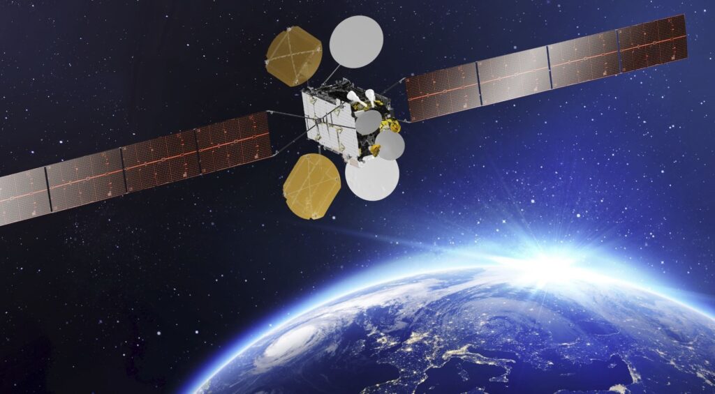
Telecommunication Applications
While the latest data indicates that 35% of communications satellites and 65% of ground-based radar systems depend on S Band for data transmission, it is estimated that over 1 million emergency communications per year depend upon S Band satellites to transmit the signal, especially over oceans and remote locations, where the system can complete the signal transmission in less than one second. In the year 2020, S Band satellites contributed more than 200,000 emergency rescue messages and saved over 500,000 lives in the east coast of India due to severe flooding. You can learn more about radio waves here.
Each MUOS satellite has the capacity to support communications at rates of up to 40 Mbps, enabling access from over 4 million user devices. According to the International Civil Aviation Organization (ICAO), over 75% of aviation communications worldwide rely on the S Band. GMDSS operates on the S Band frequency and processes over 50,000 maritime emergency incidents annually.
About 60% of the meteorological radars in the world use the S Band frequency. The NEXRAD radar system of the U.S. National Weather Service uses the S Band, whose precipitation detection radius is 460 kilometers and can do a full weather scan within 10 minutes. The false alarm rate of an S Band radar is less than 5% compared with other radar bands.
The most common application is the “ARGO Ocean Observing Network,” a network of over 3,800 buoys worldwide that use the S Band to transmit data collected every hour to global ocean research centers. Each buoy has a communication power of about 5 watts and can operate continuously for 4 to 5 years, transmitting over 500 million pieces of data each year. According to the Global System for Mobile Communications, there are over 50 million industrial devices that will be connected to S Band communication networks by the year 2025.
Remote Sensing Benefits
A report by the Food and Agriculture Organization estimated that about 40% of the world’s remote-sensing satellites use the S Band for communication and data transmission. Using S Band remote sensing data, scientists are able to monitor changes in global forest cover with an accuracy of 99.7%. You can read more about high power circulators here.
The Sentinel-1 satellite uses S Band radar imaging technology to provide more than 500,000 reports on crop health every year for farmers in Europe. According to data, precision agriculture by the use of S Band remote-sensing technology increases crop yield by 15% to 20%, whereas the usage of fertilizers and pesticides is reduced by over 30%.
S Band radar can penetrate through as much as 2 kilometers of ice in Antarctic glacier melt studies. The technology assists researchers in measuring the rate of melting glaciers and thus forecast how much sea levels will rise over the next 50 years. If the glaciers continue to melt at the present rate, by the year 2070, sea levels may rise 0.5 to 1 meter, affecting more than 600 million people in the world’s coastal cities.
Statistics show that S Band remote sensing technology is able to complete the preliminary assessment of disaster areas in less than 5 minutes and can give detailed information. In the bushfires that happened in Australia in 2019, fire data captured by S Band remote sensing satellites contributed to the Australian government in formulating more than 200 emergency evacuation plans and saved over 100,000 lives, controlling economic loss within US$20 billion.
The USGS applies S Band remote sensing technology in the monitoring of changes in water levels within the Mississippi River basin and issues flood warnings 72 hours in advance. Data has indicated that the application of S Band remote-sensing data reduces annual flood losses by more than $1 billion.
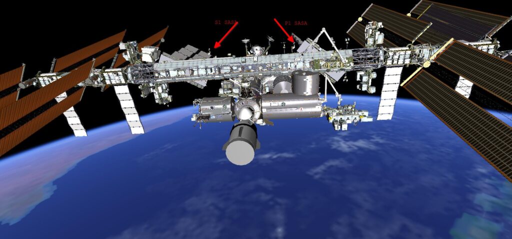
Weather Monitoring Use
This network comprises more than 160 S Band radar stations covering 98% of the U.S. mainland. The NEXRAD completes a 360-degree scan in just 6 minutes and is capable of detecting precipitation up to 460 kilometers away and gives out data at a resolution of 250 meters. Supporting over 100 million weather warnings a year, this. You can explore more about antenna networks here.
S Band radar has a rainfall rate of more than 50 mm/h, with less than 5% signal attenuation, while the attenuation rate for X Band radar reaches 30%-50%. In 2017, the NEXRAD system helped evacuate more than 1 million residents as it provided timely service during Hurricane Harvey.
With S Band radar technology, statistics show that this has increased the tornado warning lead time in the U.S. from less than 5 minutes in the 1980s to 15-20 minutes today. In fact, this enhancement has saved tens of thousands of lives over the past 30 years.
The GOES satellite scans a region every 30 seconds, four times faster than traditional meteorological satellites. This real-time data transmission technology can predict the path and intensity changes of hurricanes 36 to 48 hours in advance. It is estimated that the GOES system alone helped reduce economic losses by over $50 billion during the 2022 hurricane season.
Satellites in the MetOp series use the S Band for transmitting atmospheric data and gather more than 1 billion pieces of climate data every year. Scientists predict that by 2100, if the world does nothing to reduce global greenhouse gas emissions, the average global temperature will rise by 2.5°C to 4.5°C, increasing the frequency of extreme weather events by 50% to 70%.
In 2021, the Fagradalsfjall volcano eruption in Iceland allowed European S Band remote sensing satellites to monitor volcanic activity in real-time and help the airlines avoid over 5,000 flight delays, reducing losses by more than $2 billion. Because of the accelerated melting of Arctic glaciers, polar bear habitats have shrunk 25% in the past 20 years.
Scientific Research Support
The NEXRAD system helped in the evacuation of over 1 million residents in Hurricane Harvey, 2017. The S Band data from Sentinel-1 showed the surface displacement at 25 centimeters following the earthquake in Lombok, Indonesia, in 2018.
Statistics indicate that through the real-time monitoring of S Band remote sensing data, illegal activities related to deforestation in the Amazon have reduced by over 30% in the last 5 years, with the restoration rate of forests increasing by over 20%. In studies related to Greenland’s ice cap, S Band data helped scientists to calculate that the ice cap shrinks 12.8% on average every year and predicted that over the next 50 years, global sea levels could rise 0.5 to 1 meter. Data indicates that farms using S Band data for farm management have recorded up to 15% to 20% increases in crop yield, while reducing fertilizer and pesticide application by more than 30%.

Microwave Technology Role
The NEXRAD network consists of more than 160 S Band radar stations and encompasses 98% of the U.S. land area. This entire scan undergoes a complete 360-degree sweep every 6 minutes. The S Band radar detects the precipitation intensity, wind speed, and direction out to 460 kilometers. The lead time with the S Band radar for severe events like tornadoes and hurricanes is up to 15-20 minutes. When the rainfall intensity reaches 50 mm per hour, the attenuation rate of a Ka Band radar signal may be over 40% to 70%, while that of S Band radar is less than 5%.
Therefore, it is applied to telemetry and remote control between spacecraft and ground stations. For example, NASA’s “Voyager” probe uses S Band microwave technology to send back scientific data to Earth for more than 45 years. At this depth, Voyager over 24 billion kilometers from Earth, still receives the S Band at transmission rates of about 160 bps, using a bit error rate of under 1%, thereby implying that the results are extremely precise. According to research, more than 30% of S-Band navigation signals is interfered with considerably much lower in comparison with that of L-band signals. According to the Global Ports Automation Association, every port using an S Band microwave communication system can reduce operational costs by over 20% and increase cargo loading and unloading efficiency by up to 35%.
S Band-based remote medical communication system controls the delay time of surgeries below 50 milliseconds. S Band radar detects and tracks incoming missiles with advanced missile defense systems worldwide. It detects targets less than 1 square meter from 2,000 kilometers away. Through S Band wireless sensor networks, the fault rate of power systems has been reduced by over 25%, while maintenance costs have been reduced by 30% or so.

